Lake Oroville Community Update - May 21, 2021
Floating campsite on Lake Oroville. 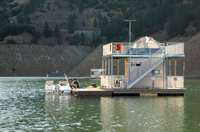
Oroville Dam Citizens Advisory Commission Public Meeting
The California Natural Resources Agency is hosting its seventh Oroville Dam Citizens Advisory Commission (OCAC) meeting on Friday, May 28 from 10 a.m. to 12:30 p.m. The public meeting will be held online and will include presentations and public comment. The Commission will receive an update on dam safety and presentations on risk assessment. The Citizens Advisory Commission is a forum to provide public feedback and be a voice for the communities surrounding Oroville Dam. For information on how to join the virtual meeting, please visit the OCAC website.
Over 65 Acres Treated Around Lake Oroville This Season
Fuel reduction work around Oroville continues to improve forest health and reduce fire risk. In partnership with Butte County Fire Safe Council, Butte County Sheriff’s Office (BCSO), the California Conservation Corps (CCC), CA State Parks, and CAL FIRE, DWR’s Fuel Load Management Plan (FLMP) work has thinned approximately 25 acres of overgrown vegetation and trees, as well as cut, piled, and chipped approximately 40 acres of dead and dying hazardous fuels (trees and vegetation) from the North Complex wildfire burn scar at Loafer Creek.
CAL FIRE and CCC crews are continuing to work within the North Complex wildfire burn scar using heavy equipment and hand crews to cut, pile, and chip burnt vegetation and trees. The piles will be burned this fall when conditions are safe for burning. BCSO crews are continuing to chip cut vegetation near the Equestrian Camp at Loafer Creek. Green Mountain Contractors, Inc. just completed a 13-acre thinning and chipping project along Highway 162 and the entrance to Loafer Creek Recreation area. FLMP efforts will be winding down as hotter and drier conditions elevate risk of accidental ignitions.
Blue Green Algae Monitoring Begins for Recreational Season
Blue-green algae (cyanobacteria) is a natural component of ecosystems. Under certain conditions, including warmer temperatures and increased nutrient loads, algae can grow rapidly causing “blooms.” Algal blooms sometimes produce toxins that can be harmful to people and animals. Algal blooms can make the water appear green, blue, or brown in color. Seeing colors, mats, foam, scum, or paint-like streaks in the water may indicate a bloom is present. Keep animals and children away from the water when a suspected harmful algal bloom (HAB) is present and report the possible HAB immediately.
DWR environmental scientists regularly monitor Lake Oroville, Upper Feather River lakes, the Thermalito North Forebay, and the Thermalito Afterbay for blue-green algae and their toxins. In past years, algal blooms have been found in the upper reaches of all forks of Lake Oroville and in Upper Feather River lakes. Water samples are taken at various locations regularly from Memorial Day through Labor Day and sent to a lab for toxin analysis.
There are currently no HAB advisories for Lake Oroville, Upper Feather River lakes, the Thermalito Forebay, or the Thermalito Afterbay. If elevated levels of cyanobacteria toxins are found, DWR staff will work with California’s Regional Water Quality Control Board and recreation area managers to notify the public and post advisory signs at affected waterbodies. To learn more about HABs or to report a HAB visit the Water Board’s website.
Oroville Recreation
The Lime Saddle, Bidwell Canyon, and Spillway boat ramps are open for use, along with the newly opened Loafer Point Stage II boat ramp facility. The California Department of Parks and Recreation (CA Parks) has opened their reservations for campgrounds around Lake Oroville, including the Lake’s floating campgrounds. Lime Saddle group camping remains closed.
Summer access hours of 5 a.m. to 11 p.m. daily are now in effect for the Spillway Boat Ramp Area - gates close at 11 p.m. Hours of access for motorists to Oroville Dam Crest Road is 5 a.m. to 11 p.m. year-round; it is accessible to bicyclists, joggers, and walkers 24 hours per day.
Trails and day use facilities at Lake Oroville State Recreation Area (LOSRA) are open 8 a.m. to sunset, except for Bidwell, Lime Saddle, and Loafer Creek, which are open 24 hours. The Lake Oroville Visitor Center remains closed due to COVID-19 restrictions.
Visit the California Parks LOSRA webpage for current information on facility status, campground reservations, and to find current requirements to protect public health during the COVID-19 pandemic. Information can also be found on the Lake Oroville Recreation webpage and the California Department of Fish and Wildlife webpage.
Current Lake Operations
The elevation of Oroville’s reservoir is about 718 feet elevation and storage is about 1.40 million acre-feet -- 40 percent full and 47 percent of historical average. Currently, in the Northern Sierra Basin, rainfall is below average, at 47 percent of normal for this time of year and snowpack is also below average at five percent of normal. Slight cooling over the weekend with warm and dry conditions next week.
Currently, flows down the low flow channel through the City of Oroville are at 650 cfs and 1,850 cfs is being released from the Thermalito Afterbay Outlet (Outlet) for a total of 2,500 cfs downstream of the Outlet. Current releases are for meeting downstream water quality and flow requirements and are re-assessed on a daily basis.
The public can track precipitation, snow, reservoir levels, and more at the California Data Exchange Center at www.cdec.water.ca.gov. Lake Oroville is identified as “ORO”.
All data as of midnight 5/20/2021