Basin Boundary Modifications
The Sustainable Groundwater Management Act (SGMA) provided a process for local agencies to request that DWR revise the boundaries of groundwater basins or subbasins, including establishing new subbasins.
Under SGMA, basin boundaries define the geographic area included in each groundwater basin. Requests for modifications could be submitted for either scientific or jurisdictional reasons. Scientific modifications are based on geologic or hydrologic conditions, while jurisdictional modifications change boundaries to promote sustainable groundwater management.
DWR developed the Basin Boundary Emergency Regulations which went into effect in November 2015. An initial round of modifications occurred in 2016 which were adopted into the 2016 Bulletin 118 Interim Update. These were followed by the most recent round in 2018.
The Final 2018 Basin Boundary Modifications were developed after a technical review of the basin boundary modification requests and public comments. The final results were released February 11, 2019.
Access the Results

2018 Basin Boundary Modifications Initial Requests and Public Comments
Basin Boundaries - Under Boundaries, choose Bulletin 118 Groundwater Basins - 2018.
Schedule
The next Basin Boundary Modifications period is not expected before 2022.
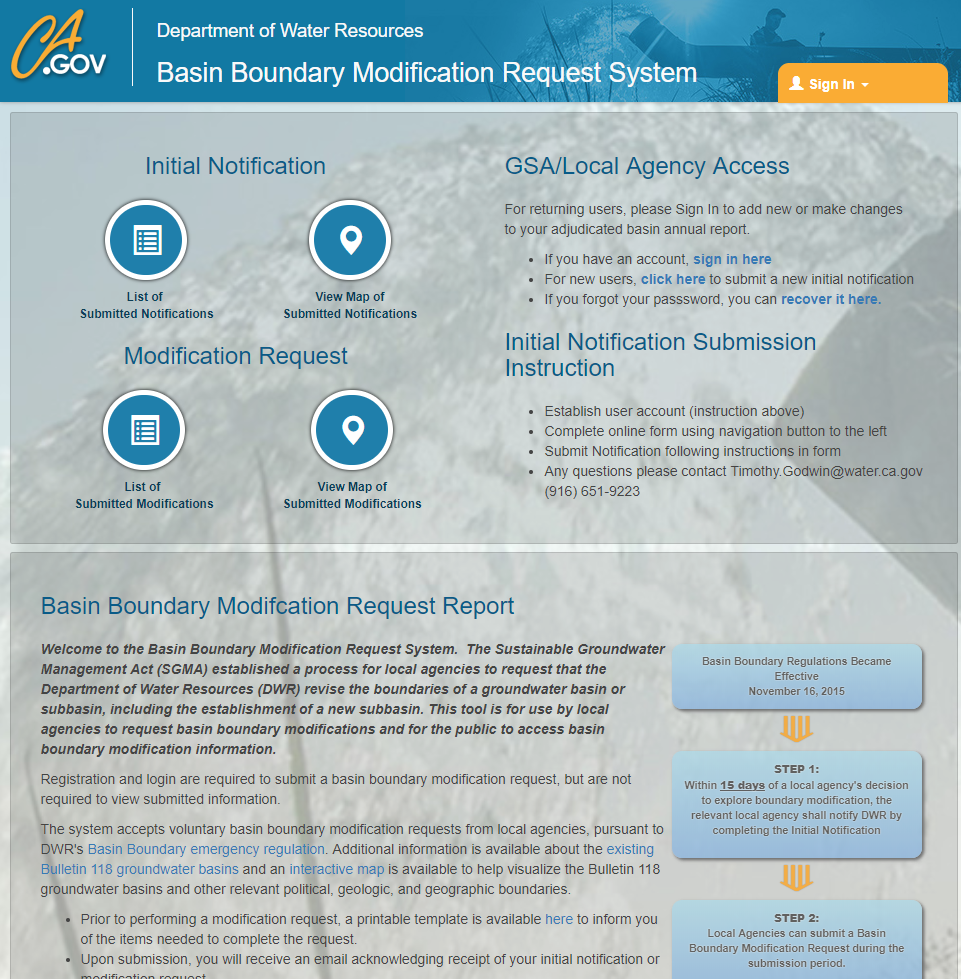
Basin Boundary Modification Request System


