Risk Assessment and Mapping
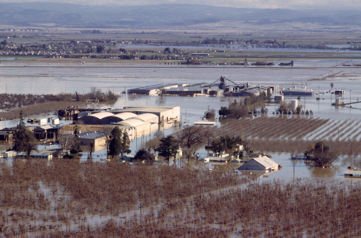
The massive flood of January 1997 forced a breach on the east levee of the Feather River in Yuba County. DWR/ January 4, 1997.
The Department of Water Resources (DWR) collaborated with the California Ocean Science Trust (OST) and the Scripps Institution of Oceanography (SIO) to equip local communities with tools and information to adapt to coastal flood hazards caused by climate change. A grant from the National Oceanic and Atmospheric Administration’s (NOAA) Coastal and Ocean Climate Applications program provided funding for the project, which was supplemented with additional funds from DWR.
A two-year pilot study was conducted to introduce alternate approaches to local coastal floodplain management in California. This work supports non-regulatory approaches in complying with the Federal Emergency Management Agency’s (FEMA) National Flood Insurance Program (NFIP) in areas that could flood by utilizing regional-scale, sea-level-rise information from the National Research Council’s study, Sea-Level Rise for the Coasts of California, Oregon, and Washington: Past, Present, and Future, as well as information on waves and tides. SIO's recently-produced future water levels, which incorporate the NRC's sea-level rise projections, were translated into products useful for coastal planners and floodplain managers.
We have developed Levee Flood Protection Zone (LFPZ) maps to increase awareness of flood risks associated with State-Federal levees. You can view the maps for your area by entering your property's address or parcel number into the parcel lookup tool. The maps should not be confused with Federal Emergency Management Agency's Flood Insurance Rate Maps used for the National Flood Insurance Program. They are not showing the same type of flood hazard and they were prepared for different purposes.
LFPZ maps estimate the maximum area that may be flooded if a State-Federal levee fails with flows at maximum capacity that may reasonably be conveyed. These maps specifically focus on flood risks associated with State-Federal levees. Lands within the LFPZ may also be subject to flooding due to other factors including, but not limited to, levee failure at flows less than design capacity, overtopping of a levee, drainage problems, or other types of flooding from sources on the land side of the levee. Lands not mapped within an LFPZ may also be subject to flood risk.
A Levee Flood Protection Zone is "the area, as determined by the Central Valley Flood Protection Board or DWR, that is protected by a project levee." DWR prepared LFPZ maps by estimating the maximum area that could be flooded if a State-Federal levee fails while conveying flows at the maximum capacity that may reasonably be conveyed.
LFPZ maps are to be used for informational purposes only; they have no regulatory authority. DWR is required to prepare and maintain LFPZ maps using the best available information. Property owners can view their property location on a LFPZ map by typing in the address of the property. Additional information for the property will include nearby flooding sources, and whether their property could be flooded to a depth of 3 feet or greater if a State-Federal levee fails.
Best Available Maps are not the same as LFPZ maps. BAM maps have been prepared by DWR to delineate the floodplains for both the 1 percent annual chance flood and the 0.5 percent annual chance flood using the best information currently available. LFPZ maps do not delineate flood frequency. LFPZ and BAM maps differ in the floodplains they cover.
FEMA maps, including Flood Insurance Rate Maps (FIRMs) and the newer Digital Flood Insurance Rate Maps (DFIRMs), are developed specifically to support the National Flood Insurance Program (NFIP). Unlike LFPZ maps, FIRMs and DFIRMs delineate the boundary of the 1 percent annual chance floodplain (FEMA defines as Special Flood Hazard Area) and include flood insurance risk zones; DFIRMs and the newer FIRMs also include regulatory floodways.
For questions regarding FIRMs, you can contact a FEMA Map Specialist at the FEMA Map Information eXchange (FMIX).
Maps & Documents
- Best Available Maps
- FEMA Map Information eXchange (FMIX)
- Levee Flood Protection Database
- Levee Flood Protection Zone map
Resources
- FEMA Flood Map Service Center
- National Flood Insurance Program
- Ocean Science Trust: Sea-Level Rise and Floodplain Management
- Sea-Level Rise for the Coasts of California, Oregon, and Washington: Past, Present, and Future
Contact Information
- Coastal and Sea Level Rise: Flood@water.ca.gov
- Levee Evaluation Program: LEP@water.ca.gov
- Levee Flood Protection Maps: LFPZ@water.ca.gov