Lake Oroville Community Update - March 12, 2021
Aerial view of Lake Oroville. DWR/2019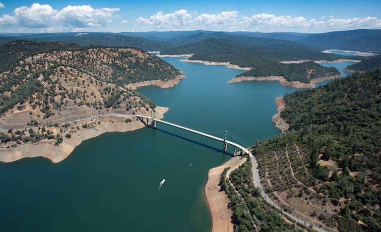
Monument Hill Facility
Improvements at the Monument Hill Boat Ramp and Day Use Area’s boat ramp and beach have been completed. The Department of Water Resources (DWR) placed 45 cubic yards of sand on the public beach, repaired storm erosion, and corrected movement of the boarding float at the boat launch. The Monument Hill facility on the Thermalito Afterbay is off Highway 162 near State Route 99.
The Thermalito Afterbay, part of the Department’s Oroville-Thermalito Complex, is a large water supply and hydropower generation reservoir in the Oroville Wildlife Area (OWA). The California Department of Fish and Wildlife (CDFW) manages the wildlife resources of the OWA for DWR.
Reopening Additional Area at Thermalito Diversion Pool
During the recovery from the 2017 Oroville Spillways Incident, the exclusion zone and buoy line in the Thermalito Diversion Pool below Oroville Dam was temporarily extended approximately one-half-mile downstream. The exclusion zone has been reduced and the buoy line moved back upstream to its historical location just below the spillway, reopening additional area for public access.
The Thermalito Diversion Pool provides opportunity for non-motorized water sports including kayaking, canoeing, and swimming. A car-top boat launch is available off of Cherokee Road. The upper end of the Diversion Pool near the spillway and dam, while open for fishing from the southern shoreline, excludes watersports, including swimming, wading, and paddle sports. Access to this area is available from the Brad Freeman Trail as well as from the new parking area off Oro Powerhouse Road (Oroville Dam Boulevard East towards Kelly Ridge, turn onto Oro Powerhouse Road and make immediate left before reaching the Hyatt Powerplant entrance gate).
Oroville Recreation
The Lake Oroville State Recreation Area (LOSRA) campgrounds at Bidwell Canyon, Loafer Creek – including the Equestrian Campground, and the Lime Saddle Campground are open. Group camping, including floating campgrounds, and boat-in campgrounds remain closed. Reservation capability does not open until April and camping sites will be allocated on a ‘first come-first serve’ basis.
The Lime Saddle, Bidwell Canyon, and Spillway boat ramps are open for use. Bidwell Canyon and Lime Saddle boat ramps are open 24-hours per day and the Spillway boat ramp is open from 6 a.m. to 8 p.m. daily. The Loafer Creek boat ramps remain out of the water. The Loafer Point Boat Ramp area is still closed for construction which is anticipated to be completed this spring. All day use facilities at Lake Oroville State Recreation Area (LOSRA) are open. The Lake Oroville Visitor Center remains closed.
Visit the California Parks LOSRA webpage for current information on facility status as well as current requirements to protect public health during the COVID-19 pandemic. Information about recreation facilities can be found in DWR’s interactive map on the Lake Oroville Recreation webpage. For information about the Oroville Wildlife Area, including the Thermalito Afterbay, visit the California Department of Fish and Wildlife webpage.
Current Lake Operations
The elevation of Oroville’s reservoir is about 714 feet elevation and storage is about 1.37 million acre-feet -- 39 percent full and 54 percent of historical average. Currently, in the Northern Sierra Basin, rainfall is below average, at 52 percent of normal for this time of year and snowpack is also below average at 64 percent of normal. Around half an inch of precipitation is expected in the Feather River basin Sunday into Monday with dry conditions forecasted for the remainder of the week of March 15.
The total releases to the Feather River are 1,050 cubic feet per second (cfs) to conserve storage in Lake Oroville. The Feather River flows will consist of 800 cfs down the Low Flow Channel through the City of Oroville, and 250 cfs from the Thermalito Afterbay Outlet (Outlet) for a total of 1,050 cfs for the Feather River’s high flow channel downstream of the Outlet.
The public can track precipitation, snow, reservoir levels, and more at the California Data Exchange Center at www.cdec.water.ca.gov. Lake Oroville is identified as “ORO”.
All data as of midnight 3/11/2021