Lake Oroville Community Update -- July 9, 2021
An aerial drone view showing Bidwell Bar Bridge across Lake Oroville in May 2021. DWR/2021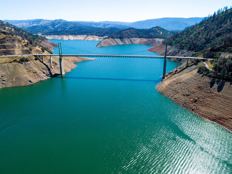
Water Quality Working Group
In November and December 2020, a multi-agency task force comprised of the State and Central Valley Regional Water Quality Control Boards, Butte County Department of Public Works, California Department of Water Resources (DWR), California Department of Fish and Wildlife, and Governor’s Office of Emergency Services came together as the ‘Watershed Working Group’ to address water quality concerns in the North Complex burn area and downstream.
Widespread testing of surface waters throughout the burn scar in Butte and Plumas counties has been completed. Sampling results over the last few months have revealed that while contaminant levels were elevated in some instances, they were lower than anticipated and did not adversely impact drinking water treatment facilities or the quality of drinking water they deliver to their communities.
The working group’s agencies will now transition to routine water quality monitoring, which includes monitoring for issues such as Harmful Algal Blooms. Building on the success of the collaboration, this working group will continue to meet quarterly to discuss watershed health and be ready for the upcoming fire season. Read the news release for more information.
Saddle Dam Maintenance
Lake Oroville State Recreation Area’s Saddle Dam trailhead facility will experience temporary closures from July 13 to July 16. Maintenance work and installation of erosion control measures will require closure of the main and/or auxiliary parking lots as well as the trail across the top of the dam. Trail users are advised to use alternate trailheads at Loafer Creek Recreation Area, Oroville Dam’s Upper Overlook, or the new parking area near the Hyatt Powerplant on Oro Dam Boulevard East.
Oroville Recreation
The Bidwell Canyon Boat Ramp remains open; however, this ramp is expected to be closed toward the end of the week of July 12, dependent on lake levels. Additionally, the gravel, single-lane boat ramp at the Spillway is open daily from 5 a.m. to 11 p.m. – gates to (and from) the Spillway Boat Ramp area close at 11 p.m.
We ask that all people using the gravel ramp engage their vehicle in 4-wheel drive, so they do not spin their tires and damage the ramp.
Boat ramp information can be obtained by calling the California Department of Parks and Recreation (CA Parks) at (530) 538-2200 or visiting the Lake Oroville State Recreation Area (LOSRA) website at www.parks.ca.gov/LakeOroville. Both the Lime Saddle and Bidwell Canyon marinas will remain open 8 a.m. until sundown.
Visitors to the Thermalito North Forebay will find a full CA Parks facility with restrooms, picnic areas, a swim beach, and the Forebay Aquatic Center with kayaks, paddle boards, and other watercraft available for rent. The Monument Hill facility at the Thermalito Afterbay and the Thermalito South Forebay facility offer boat ramp access, restrooms, picnic areas, and a swim beach at Monument Hill. Power boats are allowed on the Thermalito South Forebay as well as the Thermalito Afterbay. A 5-miles per hour speed limit for all boats is enforced on the Afterbay north of the Highway 162 bridge and near the brood ponds on the east side of the reservoir.
More than 97 miles of trails and numerous Day Use Area (DUA) facilities with picnic tables and restrooms at Lake Oroville State Recreation Area (LOSRA) are open 8 a.m. to sunset. Bidwell, Lime Saddle, and Loafer Creek Recreation Areas are open 24 hours. Summer access hours at the Spillway Boat Ramp are 5 a.m. to 11 p.m. daily - gates close at 11 p.m. The Oroville Dam Crest Road across Oroville Dam is available 5 a.m. to 11 p.m. daily and open to pedestrians and bicyclists 24-hours a day. The Lake Oroville Visitor Center anticipates re-opening later this summer.
Visit the California Parks LOSRA webpage for current information on facility status and campground reservations. An interactive map of recreation facilities in DWR’s Oroville-Thermalito Complex is available on DWR’s Lake Oroville Recreation webpage. Information about the 11,000-acre Oroville Wildlife Area is available on the California Department of Fish and Wildlife webpage.
Drought Information
California is no stranger to drought; it is a recurring feature of our climate. Lake Oroville’s low lake levels are a reminder of this cycle of dry and wet years. This year’s drought conditions are being felt across the western United States, with many areas, including California’s Central Valley, identified as being in “extreme drought” - the highest category of drought conditions.
DWR has created a “Drought” webpage where definitions, historical trends, current information, and maps of California’s water systems can be found. Links to resources, DWR activities, research, and data are available. Read about how heatwaves are impacting drought conditions on the DWR Updates webpage.
The State of California recently launched a new website drought.ca.gov. This website will serve as the State’s primary location for public drought news and information.
DWR is encouraging water conservation efforts by all Californians. Find out ways you can help by visiting the “Save Our Water” website.
Blue Green Algae Monitoring
DWR environmental scientists regularly monitor for blue-green algae and their toxins during the summer months. There are currently no harmful algal bloom (HAB) advisories for Lake Oroville, the Thermalito Forebay, or the Thermalito Afterbay.
Water samples are taken at various locations regularly from Memorial Day through Labor Day and sent to a lab for toxin analysis. If elevated levels of cyanobacteria toxins are found while testing, DWR staff will work with California’s Regional Water Quality Control Board and recreation area managers to notify the public and post advisory signs at affected waterbodies. To learn more about HABs, or to report a HAB visit the Water Board’s website.
Current Lake Operations
The elevation of Oroville’s reservoir is about 673 feet elevation and storage is about 1.063 million acre-feet -- 30 percent full and 38 percent of historical average. Currently, in the Northern Sierra Basin, snowpack is also below average at five percent of normal. An excessive heat warning is in effect from Friday to Monday. Temperatures will range between 100 to 115 degrees through this weekend into the early part of the week and high 90s for the rest of the week.
Total flow to the Feather River is currently at 3,000 cubic feet per second (cfs) for meeting downstream water quality and flow requirements. Flow down the low flow channel, through the City of Oroville, is 1,550 cfs and flow through the Thermalito Afterbay Outlet is 1,450 cfs.
Currently, these flow patterns will hold through the weekend. Current releases are re-assessed on a daily basis.
The public can track precipitation, snow, reservoir levels, and more at the California Data Exchange Center at www.cdec.water.ca.gov. Lake Oroville is identified as “ORO”.
All data as of midnight 7/08/2021