Lake Oroville Community Update – Winter Storm Warning
Image of snowfall in forest. DWR/2014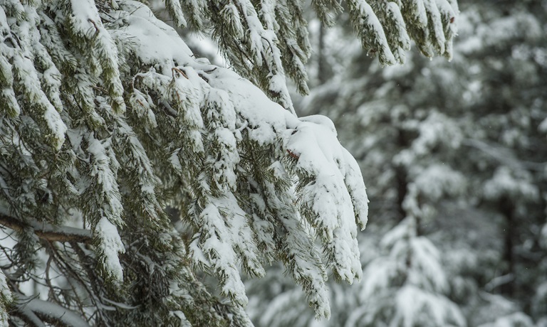
Winter Storm Warning
A winter storm warning has been issued by the National Weather Service (NWS) for much of Northern California, including the Feather River watershed which supplies Lake Oroville. The current storm system is cold and only modest runoff into Lake Oroville is expected as most of the precipitation in the watershed will be falling as snow. In the Sierra, up to four to seven feet of snow is expected with snow elevations as low as 1,000 feet. For the latest local weather information, visit Sacramento’s National Weather Service Forecast Office.
Inflows to Lake Oroville are projected to be in the range of 2,000 cubic feet per second (cfs) to 4,000 cfs (currently around 1,000 cfs). Currently at 34 percent capacity with the lake elevation at 695 above sea level, Lake Oroville reservoir is well below average storage for this time of year. Since lake levels are low and well below the 813-foot elevation of Oroville Dam’s Flood Control Outlet, spillway use will not be triggered by the current storm system.
To track reservoir levels, visit the California Data Exchange Center at www.cdec.water.ca.gov and select the Reservoirs tab in the top menu. Lake Oroville is identified as “ORO”. DWR will also be posting regular updates on our social media channels – Facebook, Instagram, and Twitter.