Explore and Discover Information about Groundwater with DWR Apps
Groundwater irrigation for a rice field in the agriculture region of Yuba County east of Marysville, California. DWR/2009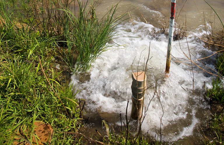
Groundwater may be out of sight, but it doesn’t have to be out of mind. Groundwater provides 30 to 60 percent of the state’s water supply and is an important drought buffer. It also is important to the state’s economy and the environment. The Department of Water Resources offers numerous web-based mapping applications that make information about this unseen resource easily accessible.
The web apps reveal details about groundwater and related activity on the land surface. The information is colorfully illustrated on interactive maps with a choice of base maps and data layers that include land subsidence, agricultural crops, wells, vegetation, wetlands, springs, groundwater basin boundaries, disadvantaged communities, and more. The apps also offer data that can be used by water agencies to plan for the effects of climate change. While meeting the needs of water agencies, the apps also provide the public with an opportunity to explore and discover information about groundwater.
The mapping apps were designed to help with the department’s implementation of the Sustainable Groundwater Management Act (SGMA) which requires local water agencies in high- and medium-priority basins to create plans to sustainably manage their groundwater resources by establishing a long-term balance between the amount of water they pump and recharge. Local groundwater sustainability agencies and others can utilize the apps as they prepare groundwater sustainability plans.
During Groundwater Awareness Week, we invite you to explore these informative apps:
- SGMA Data Viewer: Information on groundwater basin boundaries, critically over-drafted basins, water quality, land subsidence, agricultural crops, well locations and climate change data.
- Natural Communities Dataset Viewer: 48 publicly available state and federal agency datasets that map vegetation, wetlands, springs, and seeps in California.
- CADWR Land Use Viewer: Statewide and existing county land use data sets collected over the last 30 years including crop specific information, and land use change over time.
- Well Completion Report Map Application:Contains well location, dates of construction, planned use, depth of the well, subsurface geologic units encountered, well construction, and well yield.
- Groundwater Information Center Interactive Map Application: Individual geographic information systems (GIS) layers containing geospatially-referenced groundwater-related information, with downloadable layers.
- Water Management Planning Tool: Overlay numerous data layers onto a map of California including Tribal Reservation Boundaries, hydrologic regions, critically overdrafted basins, basin prioritization, and groundwater basins.
- The Groundwater Basin Boundary Assessment Tool (BBAT): Current information on groundwater basin boundaries, hydrologic characteristics and other relevant geologic and geographic data.
- The Disadvantaged Communities (DAC) Mapping Tool: Identifies disadvantaged and severely disadvantaged communities throughout California.