Lake Oroville Spillways Operations Update
Drone view of the Lake Oroville main spillway (April 25, 2018/DWR)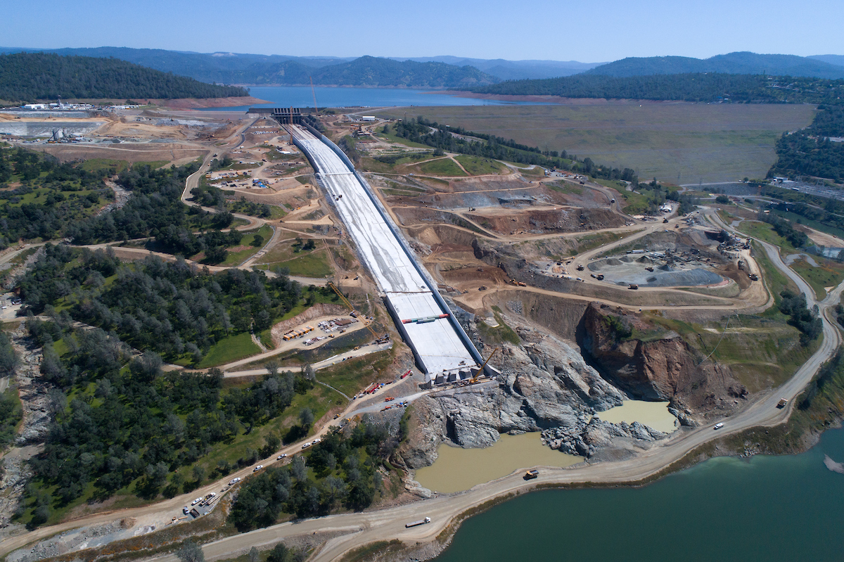
In October 2017, the California Department of Water Resources issued a winter operations plan for Lake Oroville. The Lake Oroville 2017-2018 Flood Control Season Operations Plan was developed to ensure dam safety, provide downstream flood protection, and meet the existing United States Army Corps of Engineers (USACE) flood control requirements while addressing the interim main spillway flow limitations. In the plan, DWR targeted lower lake elevations than required by the USACE.
In May of 2018, DWR issued the Seasonal FCO Gate Closure Plan detailing the near-term operation plan for Lake Oroville. The plan also takes a preliminary look at anticipated operations and forecasted lake elevations through the end of November 2018. The plan incorporates actual and forecast snowpack information and technical analyses that will support the final main gate closure with the intent to maximize the 2018 construction season.
Operations are a function of precipitation, snowpack, and run-off. As of April 10, 2018, the snow water content for the northern Sierra (Figure 2) was 34% of the April 1 average. Snow water content in the northern Sierra peaked at about 50% of the April 1 average and has since been declining.
Watch this video of John Leahigh, DWR Water Operations Executive Manager, describing the updated operations plan for the expected dry season.